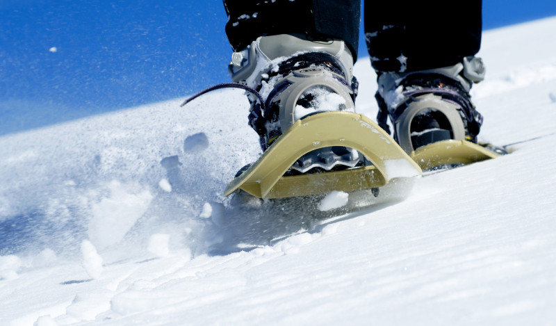
Snowshoe route: The path of the Galapias
Saint-Colomban-des-VillardsPresentation
Route No. 47
Departure: Saint-Colomban-des-Villards / Main Town / Town Hall Parking
An ideal family walk through the hamlets of Saint-Colomban-des-Villards
Take the road that descends between the lime tree and the town hall. Take the road on the right that passes in front of the village hall, then continue to the footbridge. Before the footbridge, turn left onto a path at the edge of the woods until you reach the road. Go down to the right, cross the stream on the old bridge, then leave the road to reach Nanchenu. Turn right, cross the hamlet, pass under the chairlift, then turn right again onto the slope that descends slightly to reach the recreation area. From there, go down past the snack bar to reach the footbridge, cross the stream, and return to the main town.
Période(s) d'ouvertureFrom 02/12 to 14/05 daily.
Subject to snow conditions.
Subject to snow conditions.
Contact
Snowshoe route: The path of the Galapias
73130
Saint-Colomban-des-Villards
In Short
- Section :
- Sport
- Route :
- Distance (km) 2.4
- Daily duration (minutes) 60
- Elevation (m) 54
- VillageDeDepart :
- Saint-Colomban-des-Villards
Informations
- Natures terrain :
- Non-groomed itinerary
Equipments, Services
- Parking :
- Parking
- Services :
- Pets welcome
Good to know
- Sitra promotion typology :
- Open air
Destination
Itinéraire raquette : Le chemin des Galapias
73130
Saint-Colomban-des-Villards
GPS coordinates
Latitude : 45.294141
Longitude : 6.226849

