Snowshoe route: L'Ormet
Saint-Colomban-des-VillardsPresentation
Route No. 49
Facing the reception chalet, take the road to the right until you reach an intersection. Turn left to cross the hamlet of Nanchenu. Go under the chairlift, then turn right onto the track that descends gently to reach the recreation area. Continue straight ahead to L'Essart, then turn left onto a track that climbs quite steeply before leveling off. At the edge of the forest, take the small path on the right that emerges at a hairpin bend in the track. Take the track that climbs under the chairlift. Once in the woods, ignore the flat track on your left and take the one on the right that climbs. At the second hairpin bend, turn left to reach the Auberge du Coin. Turn right, then left onto a track that climbs and joins an old ski lift. Go up under the old ski lift to exit the forest, then turn left to climb up to the chalet. From there, descend by the same path back to the edge of the forest. Do not go back down under the ski lift, but instead turn left onto the cleared track that leads back down to the top of the chairlift. Turn right to return to the inn, then descend to Nanchenu via the track under the chairlift. From there, return to the parking lot via the same route.
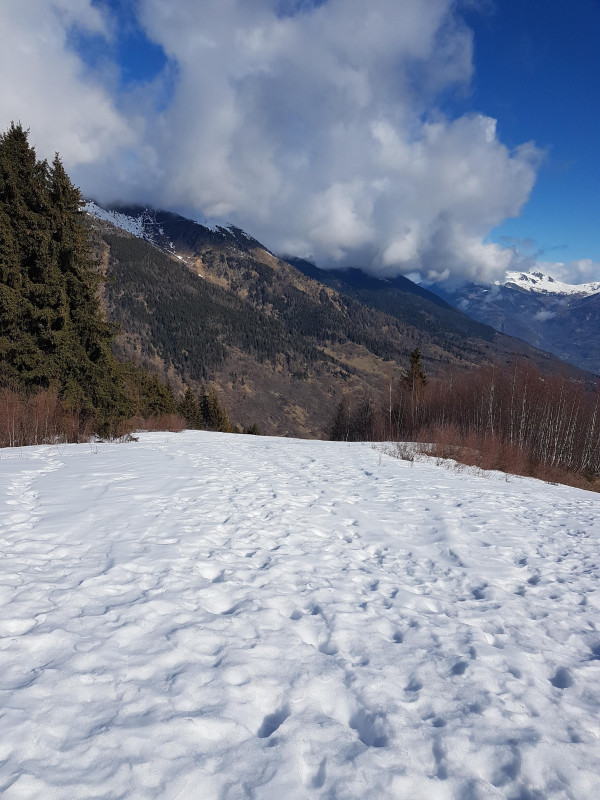
The Auberge du Coin, located halfway along the route, offers food, drinks, charcuterie boards, and other sweet treats. View of the Cime du Sambuis.
The Auberge du Coin, located halfway along the route, offers food, drinks, charcuterie boards, and other sweet treats. View of the Cime du Sambuis.
Période(s) d'ouvertureFrom 02/12 to 14/05 daily.
Subject to snow conditions.
Subject to snow conditions.
Download
Contact
Snowshoe route: L'Ormet
73130
Saint-Colomban-des-Villards
In Short
- Section :
- Sport
- Route :
- Distance (km) 7.6
- Daily duration (minutes) 300
- Elevation (m) 584
- VillageDeDepart :
- Saint-Colomban-des-Villards
Informations
- Natures terrain :
- Non-groomed itinerary
Equipments, Services
- Parking :
- Parking
- Services :
- Pets welcome
Good to know
- Sitra promotion typology :
- Open air
Destination
Itinéraire raquette : L'Ormet
73130
Saint-Colomban-des-Villards
GPS coordinates
Latitude : 45.293665
Longitude : 6.232117

