Hiking : Le Mont (1352m)
Saint-Colomban-des-VillardsPresentation
Start: At the end of La Pierre hamlet, above a big bend, take the left route leading to a garage and continue on the path at the right of the garage.
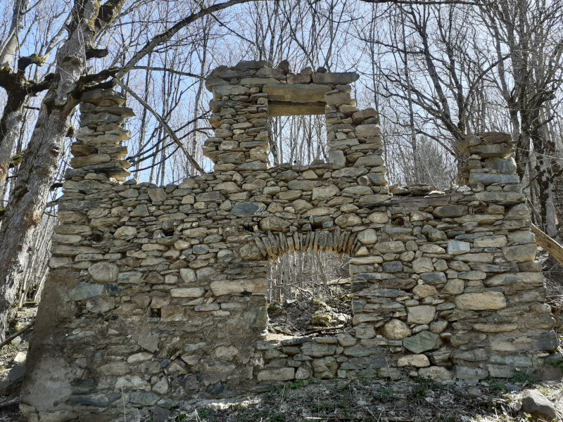
Descriptive: After the ruined village Bon Mollard, cross the torrent and follow the left path. A round trip itinerary, will allow to see a delightful view to the villarin hamlet. For those who would like to continue, this track is linked to the itinerary (le hameau du Bouchet).
Période(s) d'ouvertureFrom 15/05 to 01/12 daily.
Contact
Hiking : Le Mont (1352m)
Chef Lieu
73130
Saint-Colomban-des-Villards
- Spoken language(s) :
In Short
- Section :
- Sport
- Levels of sporting experience :
- Level bue - easy
- Route :
- Daily duration (minutes) 150
- Elevation (m) 300
- VillageDeDepart :
- Saint-Colomban-des-Villards
Informations
- Natures terrain :
- Ground
- Passages delicats :
- Plaquettes directionnelles fixées sur piquets bois, murs, rochers..
- Directional brochures fixed on wood stakes, walls or rocks.
- Pedestrian sports :
- Pedestrian sports
- Hiking itinerary
Equipments, Services
- Services :
- Pets welcome
Destination
Randonnée : Le Mont (1352m )
Chef Lieu
73130
Saint-Colomban-des-Villards
GPS coordinates
Latitude : 45.29346
Longitude : 6.234891


