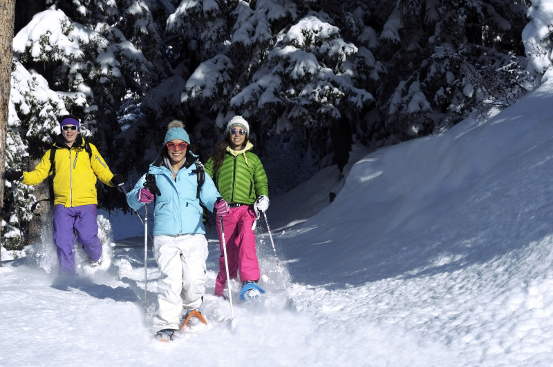
Snowshoeing route: Le Monthyon
Saint-Alban-des-VillardsPresentation
Route No. 44
Departure: Saint-Alban-des-Villards / Premier Villard / La Tourne Parking
Discover the almost uninhabited hamlet of Monthyon, admirably preserved, with its old buildings of traditional architecture and its small square.
At the top of the hamlet of Premier Villard, park at the start of the Replat forest road and then take this road. At Plan du Cruet, turn right onto the Monthyon forest road which leads to the Combe des Reisses. Cross the bridge of the same name and continue to the hamlet of Monthyon, almost completely uninhabited in winter. The return journey is via the same route.
Période(s) d'ouvertureFrom 02/12 to 14/05 daily.
Subject to snow conditions.
Subject to snow conditions.
Contact
Snowshoeing route: Le Monthyon
73130
Saint-Alban-des-Villards
In Short
- Section :
- Sport
- Route :
- Distance (km) 6.4
- Daily duration (minutes) 180
- Elevation (m) 204
- VillageDeDepart :
- Saint-Alban-des-Villards
Informations
- Natures terrain :
- Non-groomed itinerary
Equipments, Services
- Parking :
- Parking
- Services :
- Pets welcome
Good to know
- Sitra promotion typology :
- Open air
Destination
Itinéraire Raquette : Le Monthyon
73130
Saint-Alban-des-Villards
GPS coordinates
Latitude : 45.315243
Longitude : 6.256574

