Snowshoe route: Chief town of St Alban / Premier Villard
Saint-Alban-des-VillardsPresentation
Connection
Departure: St-Alban-des-Villards / Main Town / Church Parking
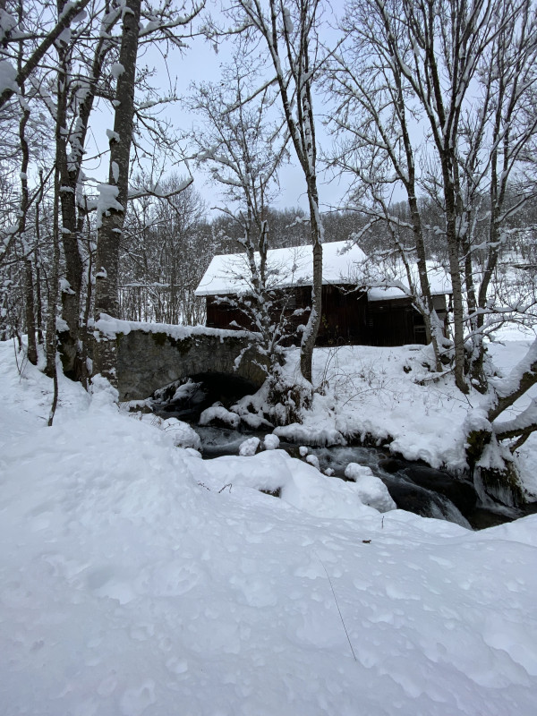
An easy walk from the village of L'Église to the first hamlet founded in the Villards Valley. Along the way, discover an old sawmill/mill, still authentic, on the banks of the Merlet torrent.
Main Town > Premier Villard: From the parking lot, walk along the church towards the center of the hamlet. At Place du Poilu, take the stairs leading down to the left before the town hall. At the bottom of the stairs, turn left and then immediately right onto a fairly wide path that leads in a few bends to the stone bridge spanning the Merlet torrent. Go back up to the road that leads to Premier Villard.
Premier Villard > Main Town: From the parking lot, go back down to the road and take the track opposite that descends to the mill. Cross the bridge spanning the Merlet torrent and then climb back up to the main town with a few hairpin bends. Once you reach the village, turn left onto the road and then immediately right up the stairs.
You are now near the mill, which, thanks to its water intake from the Merlet River, powered not only the mill (for flour) but also the sawmill and a micro-power plant.
Période(s) d'ouvertureFrom 02/12 to 14/05 daily.
Subject to snow conditions.
Subject to snow conditions.
Download
Contact
Snowshoe route: Chief town of St Alban / Premier Villard
73130
Saint-Alban-des-Villards
In Short
- Section :
- Sport
- Route :
- Distance (km) 1.4
- Daily duration (minutes) 45
- Elevation (m) 22
- VillageDeDepart :
- Saint-Alban-des-Villards
Informations
- Natures terrain :
- Non-groomed itinerary
Equipments, Services
- Services :
- Pets welcome
Good to know
- Sitra promotion typology :
- Open air
Destination
Itinéraire raquette : Liaison Chef-Lieu / Premier Villard
73130
Saint-Alban-des-Villards
GPS coordinates
Latitude : 45.309782
Longitude : 6.249186

