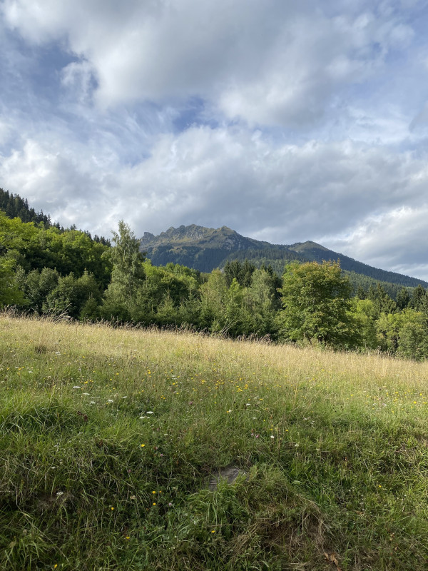
De la Croix des Charrières au Replat (sentier balcons)
Saint-Colomban-des-VillardsPresentation
Starts: From the Chef-lieu of St Alban (advised), go to the little road which lead inside the hamlet.
From the Premier Villard’s hamlet, start from the forest track of Nant.
From the Premier Villard’s hamlet, start from the forest track of Nant.
Descriptive: From the Chef-lieu of St Alban, go to the Croix des Charrières. When you’re at the torrent, don’t cross over it and carry on the path on the left of the torrent (right bank). After about 15 min walking at the Moletta, at the junction go to the path on the right in order to cross the bridge. Then come back by the forest track to the Replat’s chalets. From here, there is a shady path which cut the path to the Premier Villard. Go to the Moulins’ path, to return to the Chef-lieu of St Alban. Traverse the road and go down to the torrent (old sawmill, mill), and go back up toward the Chef-lieu. This familial stroll allows to do a picnic on the sloping ledge. From the Premier Villard, above the Replat’s chalets, continue on the left path, cross the torrent and go down at the Moletta.
Période(s) d'ouvertureFrom 15/05 to 01/12 daily.
Contact
De la Croix des Charrières au Replat (sentier balcons)
Chef Lieu
73130
Saint-Colomban-des-Villards
In Short
- Section :
- Sport
- Levels of sporting experience :
- Level green –very easy
- Route :
- Distance (km) 3.1
- Daily duration (minutes) 210
- Elevation (m) 350
- VillageDeDepart :
- Saint-Colomban-des-Villards
Informations
- Natures terrain :
- Ground
- Passages delicats :
- Plaquettes directionnelles fixées sur piquets bois, murs, rochers..
- Directional brochures fixed on wood stakes, walls or rocks.
- Pedestrian sports :
- Pedestrian sports
- Hiking itinerary
Equipments, Services
- Services :
- Pets welcome
Good to know
- Sitra promotion typology :
- Open air
Destination
De la Croix des Charrières au Replat (sentier des balcons)
Chef Lieu
73130
Saint-Colomban-des-Villards
GPS coordinates
Latitude : 45.294125
Longitude : 6.22648


