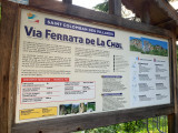
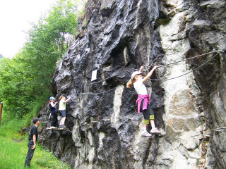
Via ferrata La Chal
Saint-Colomban-des-VillardsPresentation
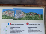
The La Chal Via Ferrata awaits you for an experience rich in thrills and discoveries on the edge of the cliffs of the Col du Glandon road!
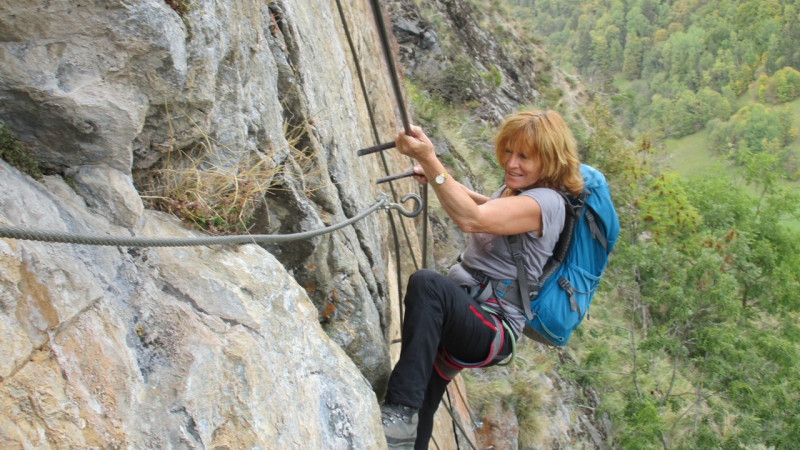
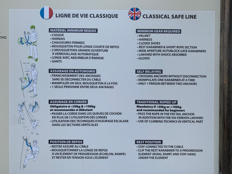
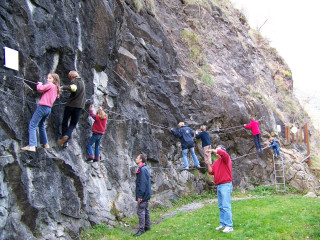
Halfway between climbing and hiking, the via-ferrata is an alpine route equipped with rungs and cables. It requires specific equipment and minimal knowledge of climbing progression techniques.
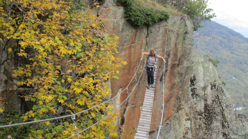
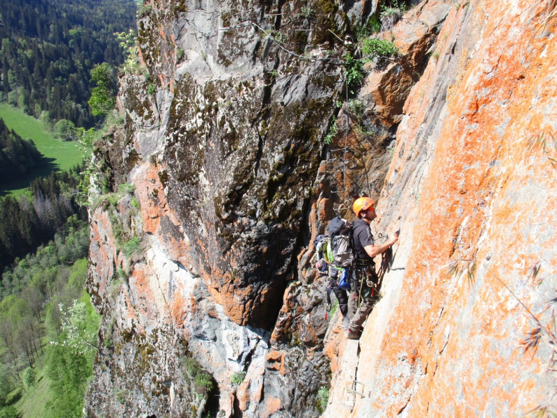
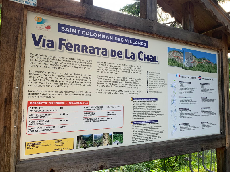
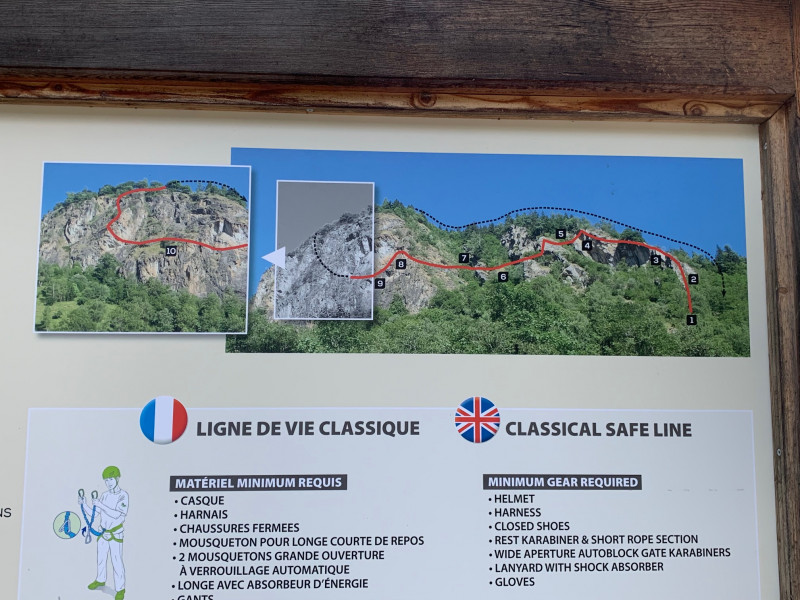
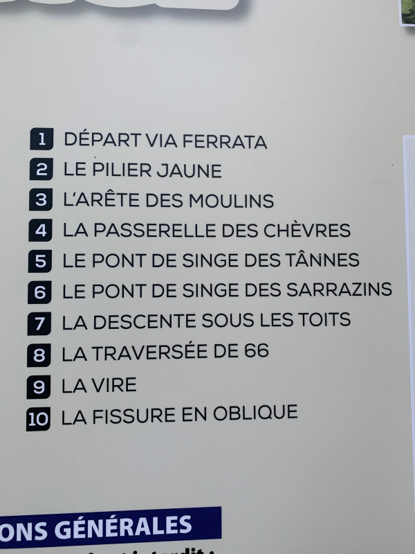
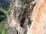
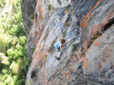
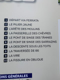
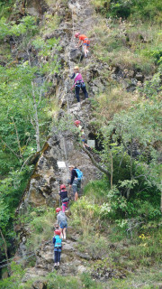
The route: We start the route by a steep pillar leading to the ridge of Les Moulins, easy but very aerial, from where we discover the village. We then pass the 21m footbridge, very gassy, at the end of which we can exit through a loophole.
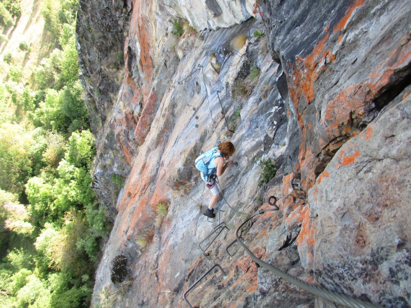
The second part is more athletic and very aerial. After crossing 2 rope bridges (7 and 15m), a steep wall and a ledge, we arrive at the difficulty of the course: the oblique crack, short but very steep and very athletic. The rest of the route is without difficulty.
The arrival is at the top of Montrond at 1522 meters above sea level with a view of the whole valley and of Mont Blanc.
Difficulty: D+
Duration: 3 to 4 hours depending on attendance and level
Parking altitude: 1210m
Summit Altitude: 1470m
Route length: 600m
Elevation: 260m
Approach: 15 mins
Orientation: SE
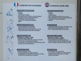
GENERAL RECOMMENDATIONS:
Access to the La Chal Via Ferrata is prohibited:
- For inexperienced adults
- Children under 1.20m and minors unaccompanied by an experienced adult.
- Outside opening hours and at night
- In case of bad weather, especially when the track is slippery, snowy or icy and in stormy weather
- Leave early in the morning to avoid the hot weather
You practice this route under your own responsibility.
Do not hesitate to call on the services of professionals if you are a beginner.
There is an initiation course and for beginners (Via ferrata de Capaillan) located at the bottom of the via ferrata.
Période(s) d'ouvertureFrom 05/01 to 10/31 : open daily.
Contact
Via ferrata La Chal
Hameau de la Chal
73130
Saint-Colomban-des-Villards
In Short
- Section :
- Sport
- Levels of sporting experience :
- D
- For experts / practiced
- Route :
- Distance (km) 0.6
- Daily duration (minutes) 240
- Elevation (m) 260
- VillageDeDepart :
- Saint-Colomban-des-Villards
Informations
- Passages delicats :
- La fissure oblique de fin de parcours, courte mais très raide est très athlétique. Sur le parcours, il y a un échappatoire après la passerelle de 21m.
- The oblique crack at the end of the course, short but very steep, is very athletic. On the course, there is a loophole after the 21m footbridge.
- Climbing sports :
- Rock climbing site
- Via ferrata
Equipments, Services
- Parking :
- Parking
Good to know
- Indication prix :
- Gratuit
- Sitra promotion typology :
- Not recommended in bad weather
- Open air
Tarifs
| Fares | Min | Max |
|---|---|---|
| Free | ||
Destination
Via ferrata La Chal
Hameau de la Chal
73130
Saint-Colomban-des-Villards
GPS coordinates
Latitude : 45.279735
Longitude : 6.210461
We also suggest...

