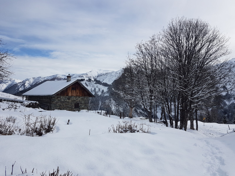
Snowshoe route: Mont Rond
Saint-Colomban-des-VillardsPresentation
route no. 52
Departure: Saint-Colomban-des-Villards / La Chal / Pont de Capaillan Parking
Beautiful views guaranteed over the valley in the heart of an old mountain hamlet.
From the via ferrata parking lot, cross the bridge, follow the road, and take the first road on the left that descends to the hamlet of Lachal. In the village, take the first road on the left to cross the Glandon River again. At the entrance to the hamlet of Les Moulins, turn left before the bridge onto a path that begins above the road, passing in front of two houses. After the second chalet, turn right, cross a clearing, and continue on the undergrowth path up the right bank of the stream. At the Tépey footbridge, turn left onto the track that climbs to the Mont Rond chalets. The return is via the same route.
Période(s) d'ouvertureFrom 02/12 to 14/05 daily.
Subject to snow conditions.
Subject to snow conditions.
Contact
Snowshoe route: Mont Rond
73130
Saint-Colomban-des-Villards
In Short
- Section :
- Sport
- Route :
- Distance (km) 5.3
- Daily duration (minutes) 195
- Elevation (m) 357
- VillageDeDepart :
- Saint-Colomban-des-Villards
Informations
- Natures terrain :
- Non-groomed itinerary
Equipments, Services
- Services :
- Pets welcome
Good to know
- Sitra promotion typology :
- Open air
Destination
Itinéraire raquette : Mont Rond
73130
Saint-Colomban-des-Villards
GPS coordinates
Latitude : 45.282766
Longitude : 6.209876

