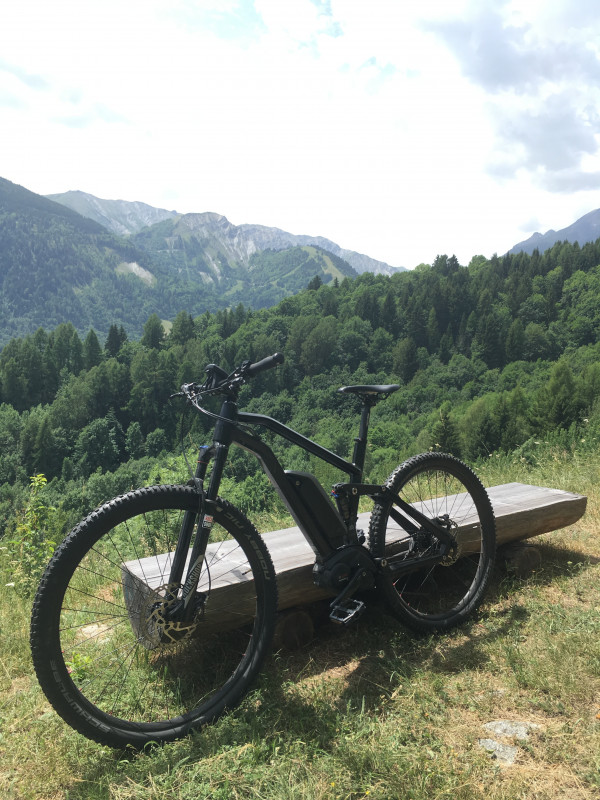
Charrières Loop Mountain Bike
Saint-Alban-des-VillardsPresentation
• Charrières Loop No. 61:
Starting from the main town of Saint-Alban-les-Villars, you'll take a shaded, descending path towards Mollaret. You'll then begin the climb on a winding 4x4 track, which will take you to the flat area to reach Les Perrières. This climb doesn't present any particular driving challenges.
Arriving at La Molette, you'll tackle a rather steep, grassy, and stony descent to the Croix des Charrières, where you can enjoy a picnic break.
The route continues along a path through the clearing, before descending via Lachenal, a forest-lined trail. From Lachenal, you can admire the village of Saint-Alban-les-Villars before returning to the starting point.
Km: 10.9 km
Elevation: 510 m
Elevation: 510 m
Time: 3h30
Marking: FFC Marker, No. 61 blue
Level: Blue, medium
Min altitude: 1019 m
Max altitude: 1367 m
Période(s) d'ouvertureAll year round daily.
Contact
Charrières Loop Mountain Bike
73130
Saint-Alban-des-Villards
- Spoken language(s) :
In Short
- Section :
- Sport
- Levels of sporting experience :
- Level bue - easy
- Route :
- Distance (km) 10.9
- Elevation (m) 510
- VillageDeDepart :
- Saint-Alban-des-Villards
Informations
- Natures terrain :
- Ground
Destination
Boucle des Charrières
73130
Saint-Alban-des-Villards
GPS coordinates
Latitude : 45.31563
Longitude : 6.258023


