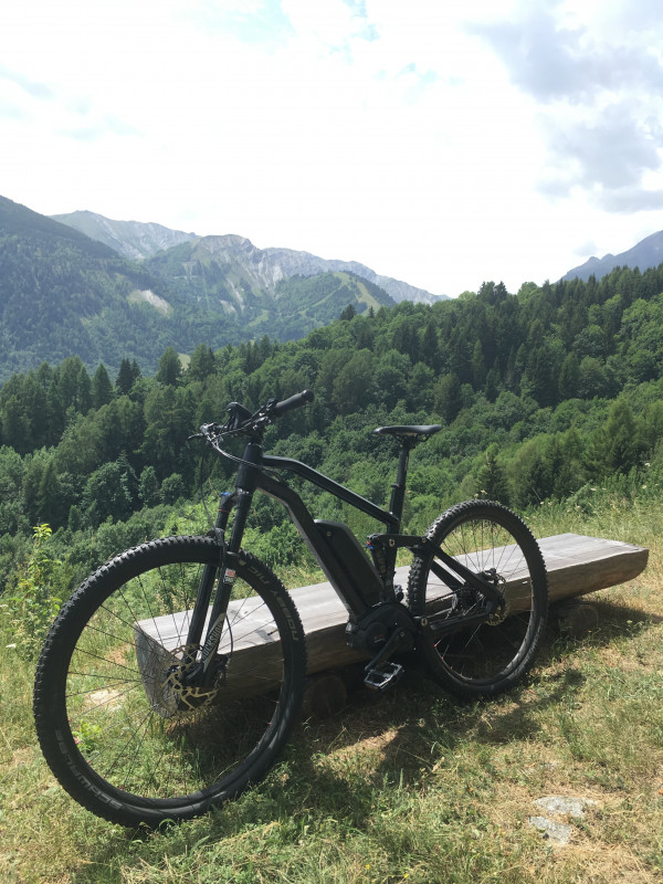
Bessay Loop Mountain Bike
Saint-Alban-des-VillardsPresentation
• Bessay loop route no. 60
Departing from the main town of Saint-Alban-les-Villards, this short loop offers a beautiful alternation of shaded forest passages and open clearings, ideal for enjoying the cool summer air.
The trail will take you to the Croix des Charrières, a pleasant resting point equipped with a picnic table, perfect for enjoying a snack while admiring the scenery.
The rest of the route follows a relatively unsophisticated path through a clearing before returning to the forest. The descent, sometimes steep but not particularly difficult, will take you back to the hamlet of Bessay, then to the main town of Saint-Alban-les-Villards to conclude the loop. Km: 3 km
Elevation: 134 m
Elevation: 134 m
Difficulty: Easy, Green Level
Time: 2 hours
Marking: FFC Marker + No. 60
Min. Altitude: 1111 m
Max. Altitude: 1240 m
Période(s) d'ouvertureAll year round daily.
Contact
Bessay Loop Mountain Bike
73130
Saint-Alban-des-Villards
- Spoken language(s) :
In Short
- Levels of sporting experience :
- Level green –very easy
- Route :
- Distance (km) 3
- Elevation (m) 134
- VillageDeDepart :
- Saint-Alban-des-Villards
Informations
- Natures terrain :
- Ground
Destination
Boucle du Bessay
73130
Saint-Alban-des-Villards
GPS coordinates
Latitude : 45.304433
Longitude : 6.244719


