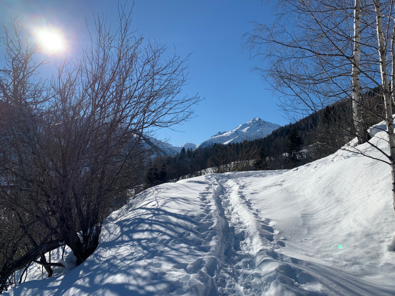
Snowshoe route: Les Jovières
Saint-Alban-des-VillardsPresentation
Route No. 42
Departure: St-Alban-des-Villards / Main Town / Church Parking
A challenging route off the beaten track, where it's not uncommon to encounter local wildlife.
From the parking lot, walk along the church towards the center of the hamlet. At Place du Poilu, take the road that climbs to the right and follow it to the top of the village. After the snow pile pushed by the snowplow, continue straight ahead to the Charrières cross. At the cross, take the left path, ignoring the steep path furthest to the left. Follow the two switchbacks to reach the orientation table. The trail then climbs a steep slope to the first memorial sign, the "Beast" chalet. The trail climbs again to a post marked "turn left," then descends slightly before gently climbing back up to Les Jouvières, the highest point of the hike. The return is via the same route.
Période(s) d'ouvertureFrom 02/12 to 14/05 daily.
Subject to snow conditions.
Subject to snow conditions.
Contact
Snowshoe route: Les Jovières
73130
Saint-Alban-des-Villards
In Short
- Section :
- Leisure
- Route :
- Distance (km) 3.2
- Daily duration (minutes) 120
- Elevation (m) 231
- VillageDeDepart :
- Saint-Alban-des-Villards
Informations
- Natures terrain :
- Non-groomed itinerary
Equipments, Services
- Parking :
- Parking
- Services :
- Pets welcome
Good to know
- Sitra promotion typology :
- Open air
Destination
Itinéraire raquette : Les Jovières
73130
Saint-Alban-des-Villards
GPS coordinates
Latitude : 45.310455
Longitude : 6.249708

