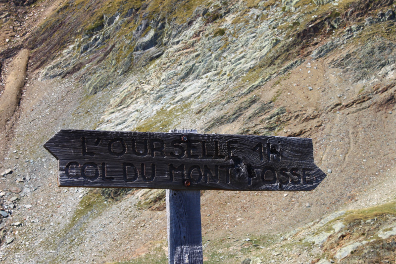
Col du Montfossé ou du Villonet (2457m)
Saint-Colomban-des-VillardsPresentation
Starts : From the easiest to the hardest.
- Lac des Balmettes (advised)
- Combe Rousse
- Combe du Merlet
- Lac des Balmettes (advised)
- Combe Rousse
- Combe du Merlet
Black itinerary: Very hard: High mountain itinerary with entrances at pass and summits, 1000m of elevation gain, trips at days, route with technical difficulty (such as scree, névé, glacier, rocky bar…), well train and experienced hiker mastering alpine technical (such as ice axe, clamps, rope…)
Période(s) d'ouvertureFrom 15/05 to 01/12 daily.
Contact
Col du Montfossé ou du Villonet (2457m)
Chef Lieu
73130
Saint-Colomban-des-Villards
In Short
- Section :
- Sport
- Levels of sporting experience :
- Level black - very hard
- Route :
- Distance (km) 11.5
- Daily duration (minutes) 330
- Elevation (m) 650
- VillageDeDepart :
- Saint-Colomban-des-Villards
Informations
- Natures terrain :
- Ground
- Pedestrian sports :
- Pedestrian sports
- Hiking itinerary
Equipments, Services
- Services :
- Pets welcome
Good to know
- Indication prix :
- Gratuit
- Sitra promotion typology :
- Open air
Tarifs
| Fares | Min | Max |
|---|---|---|
| Free | ||
Destination
Col du Montfossé ou du Villonet (2457m)
Chef Lieu
73130
Saint-Colomban-des-Villards
GPS coordinates
Latitude : 45.293551
Longitude : 6.226008

